
In-field or In-office
Rapidly create maps without leaving the field (offline available), for faster decision-making and action.

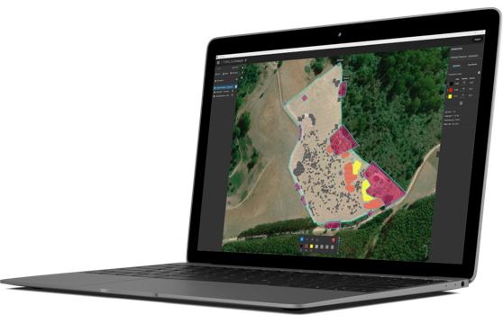
Fast & accurate insights
Get maps of your fields and crops at any stage using satellite and/or drone imagery.
Unique tools
From images to insights, create crop health maps, field reports, spot spraying, and prescription maps for your agricultural machinery.

Easy sharing
Share your data via PIX4Dcloud as PDF reports and in industry standard formats.