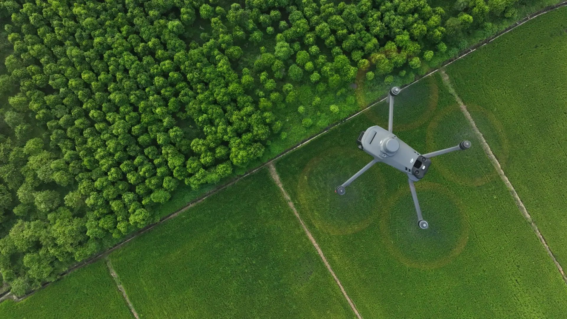
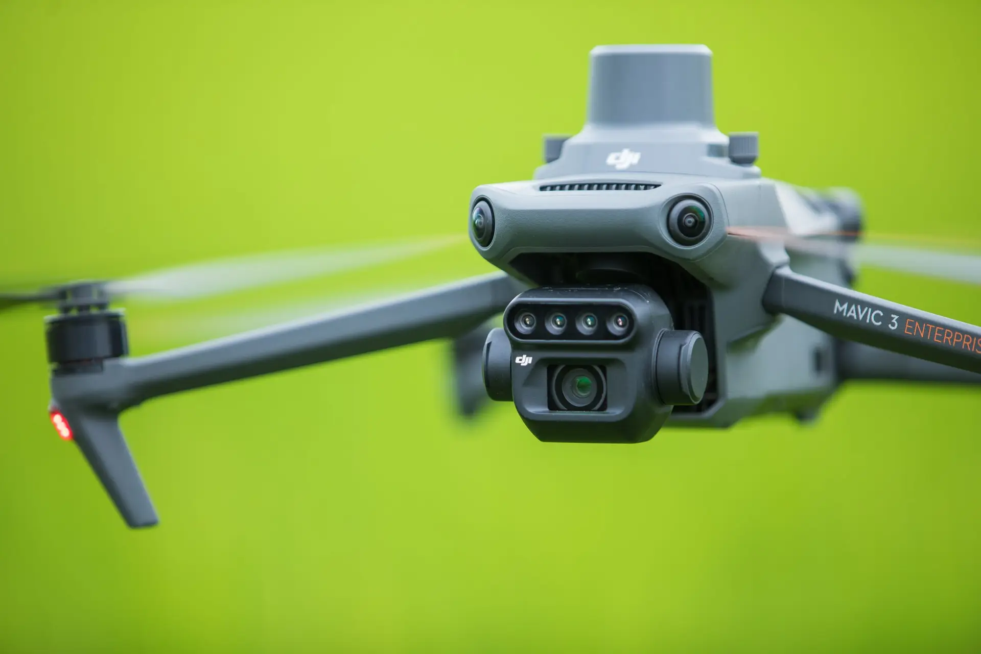
The DJI Mavic 3 Multispectral combines a high-resolution RGB camera with a multispectral camera, enabling precise analysis of plant growth. Whether for professional agricultural analysis or for impressive aerial photography – this drone provides you with the right tools.
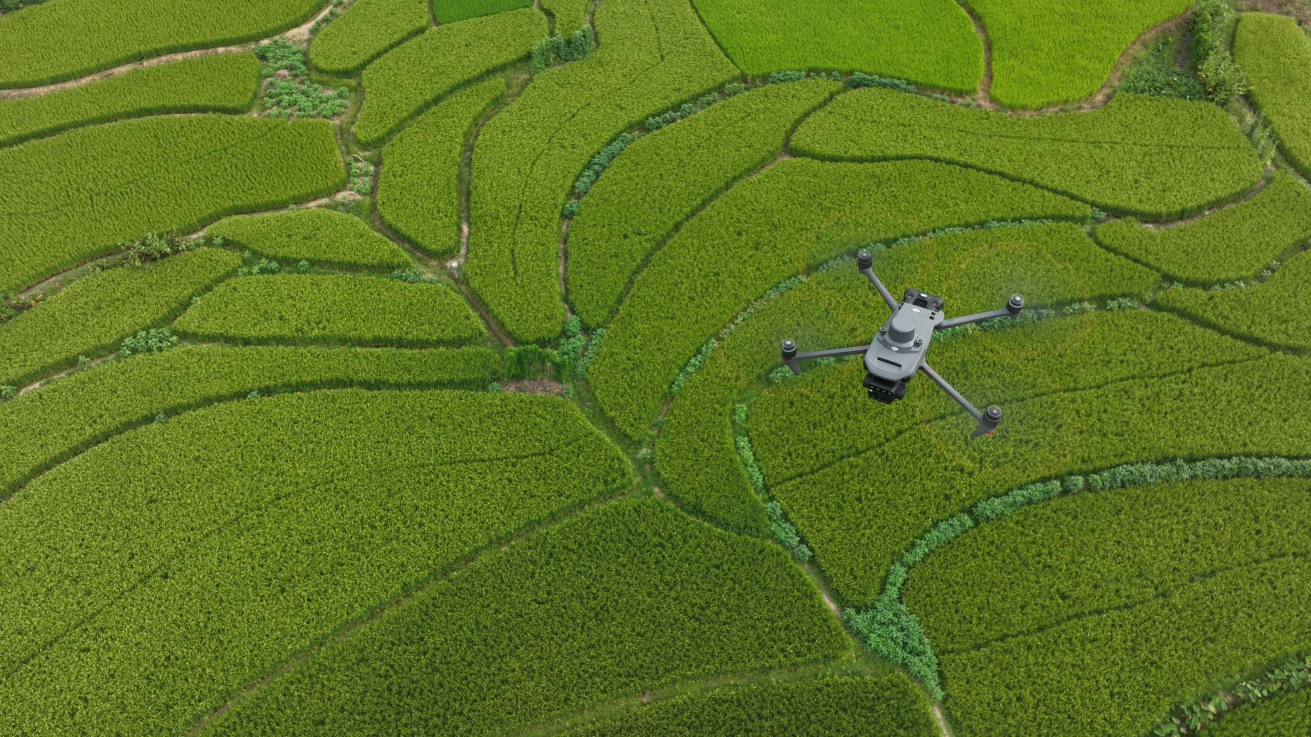
Mapping
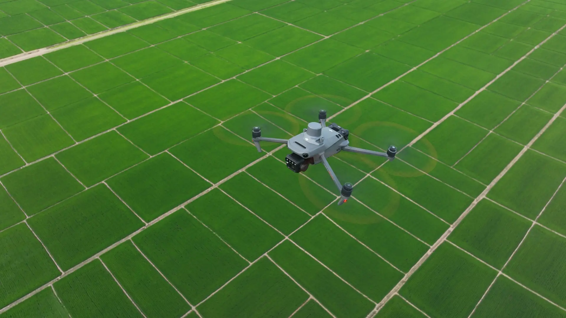
Create detailed maps of your surroundings. The Mavic 3M allows you to capture large areas quickly and accurately so you can make informed decisions.
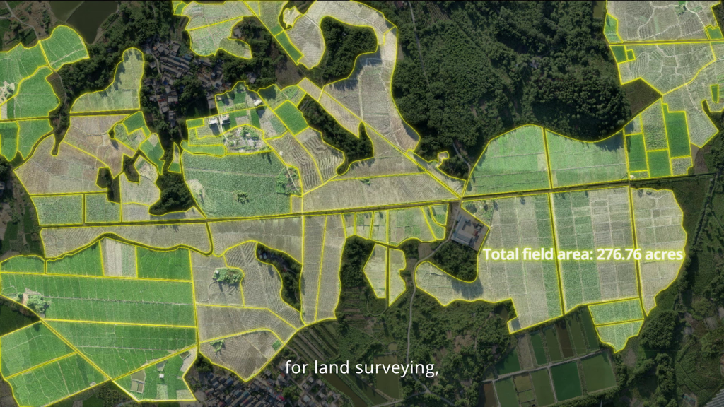
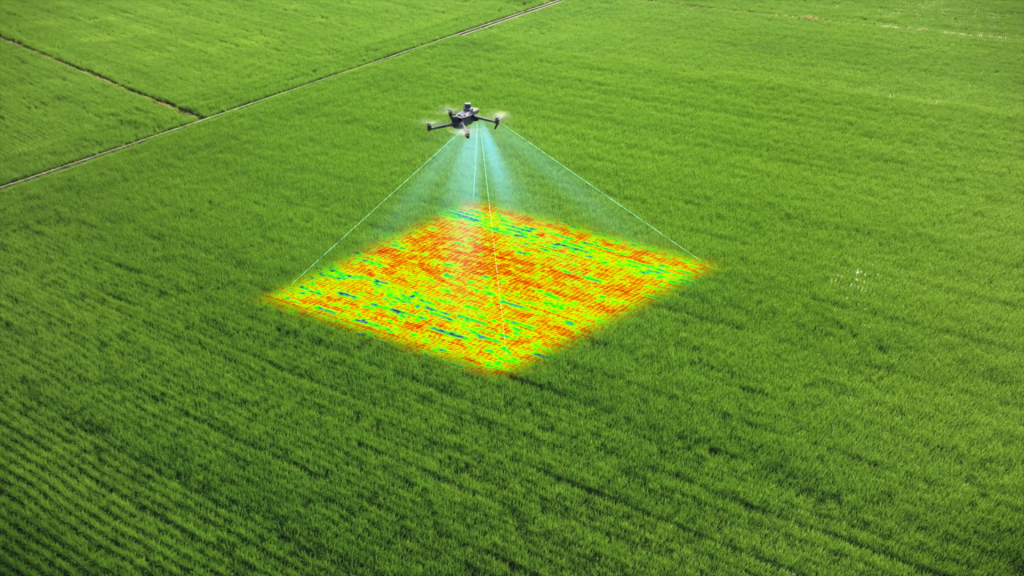
Surveying
Use the powerful analysis functions to gain valuable insights into your fields. Identify problems at an early stage and optimize your yields with precise data.
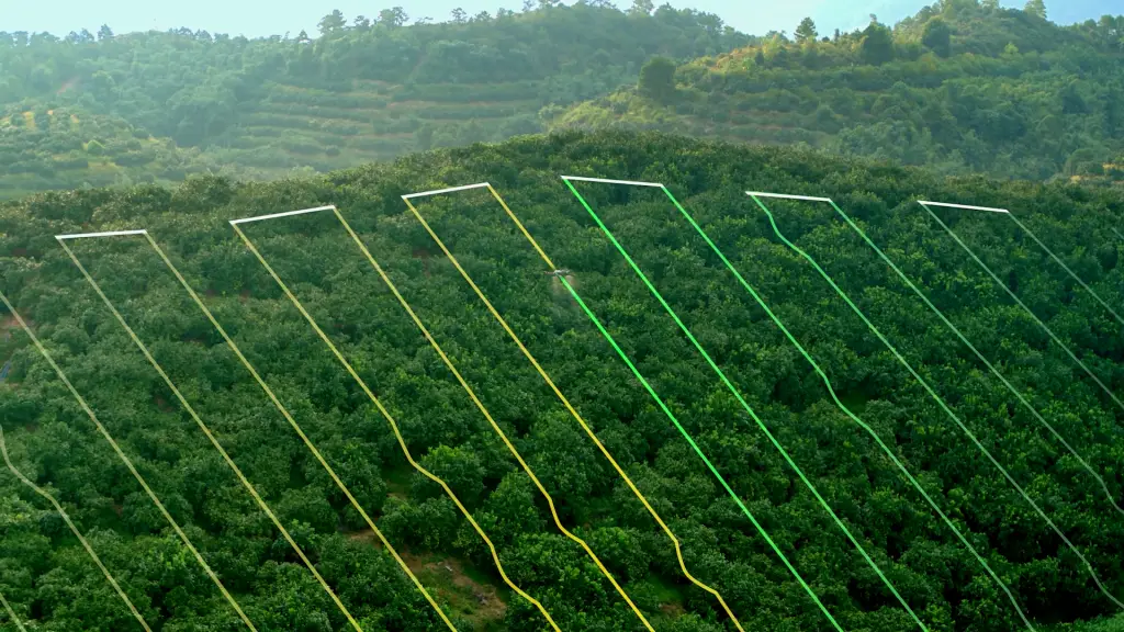
Flight Route Planning
Plan your flights in advance and maximize the efficiency of your projects. With the user-friendly software, you can create individual flight routes that are tailored to your specific requirements.